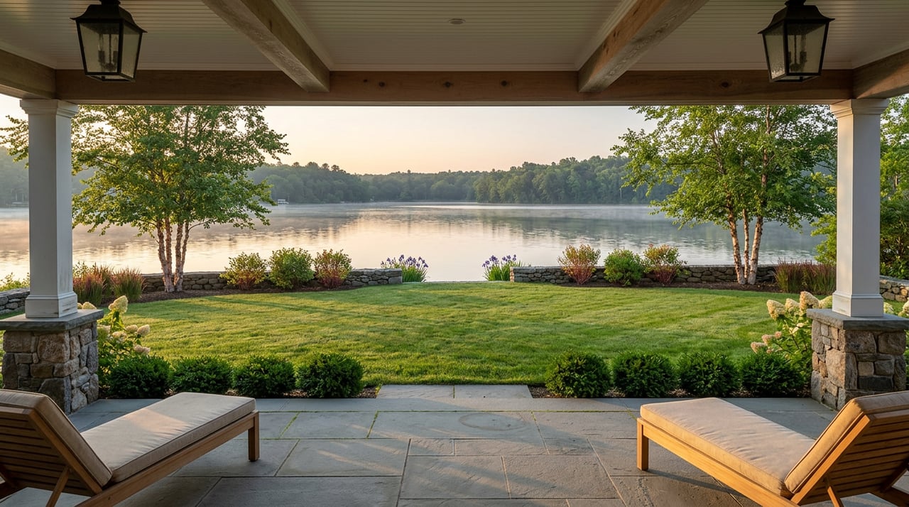
Most mornings, the dog walkers cluster around two or three spots. Bayshore Park, because the viewing deck and its row of Adirondack chairs make an easy turnaround point. Maybe Shorebrook, since it has the longest paths and the community beach. What almost nobody treats as a single system is the fact that Stonewater's own homeowners association maps out eleven named parks stitched into one continuous walk around all six lakes, a walk that eventually leaves the subdivision entirely and connects to trail infrastructure across Six Mile Road.
That's the thing about Stonewater. The neighborhood markets itself around six lakes and a restored trout stream, and both of those things are real. But the six lakes and the eleven parks around them were designed as one connected loop, not a scattering of separate green spaces, and most residents only ever experience a fraction of it.
Six Lakes, Eleven Named Stops
Start with the water itself. Stonewater's homeowners association lists the six lakes by name and acreage: Parkshore at 28 acres, with two private islands you can only reach by boat, Stoneridge at 25 acres, Teal at 23 acres, connected to Stoneridge by a strait running between two peninsulas, Spring Hill at 20 acres, Mystic at 9 acres, and Heather at 2 acres. Add them up and you get just over 107 acres of private water inside a community that totals 366 acres altogether, meaning close to a third of Stonewater's footprint is lake.
Around that water sit eleven distinct parks, each with its own entrance and its own reason to visit. Peninsula Park, off Mission Pointe, has a stone staircase built right into the shoreline for swimming or fishing. Stonewater Park, at the Manorwood Drive entrance, centers on a waterfall and pond that were rebuilt in 2019 and won the Michigan Green Industry Association's award for Best Water Feature Design and Best of Show for Environmental Improvement Design that same year. Bayshore Park sits at Manorwood and Newcastle Court, Wildlife Park is over at Stoneridge and Binghampton, and Sandshore Park runs along Ridge Road with benches facing Parkshore Lake and its islands.
Shorebrook Park, at Parkshore Drive and Stoneridge Drive, is the largest of the eleven and the only one with the community's designated swim beach. There's no lifeguard there, so it's swim at your own risk with kids required to have an adult along, a detail worth remembering into late summer while the beach is still in regular use.
The Route That Actually Connects Them
Here's where it stops being a list and starts being a walk. Starting at Peninsula Park, the path runs northeast to Manorwood Drive, past Stonewater Park's waterfall, west to Bayshore Park, then loops toward Mystic Shores Park off Heather Court and Overlook Trail, a stretch with a mix of paved and unpaved surface and a few real inclines for a subdivision this flat. From there the route drops south to Wildlife Park on Stoneridge Drive, where an asphalt path runs the length of Stoneridge Lake's southern shore, then into Shorebrook, the biggest link in the chain, before splitting toward Creekside West on Stoneridge Drive and Creekside East near the Shorebrook entrance.
That last stretch is the part most residents never walk. Creekside East follows Stonewater Creek east along Six Mile Road to a steel pedestrian bridge, the exact point where the creek exits the community. Cross that bridge and the path connects directly into Cold Springs Linear Park, meaning the walking network inside Stonewater isn't actually self-contained. It's the front half of something bigger.
Round out the loop with Waterway Park on Ridgeview Drive, which has the community's kayak launch and boat ramp for pontoons on Parkshore Lake, and the open lot at Six Mile and Ridge that was originally platted as a community garden. The infrastructure for that garden, irrigation, restrooms, a shed, was never actually built by the developer, so today it functions as open green space, useful mostly for letting a dog run.
The Water Rule Most People Get Backward
Ask a longtime Stonewater resident whether you need a license to fish the lakes and you'll get mixed answers, which makes sense given how the rule actually works. On the six private lakes, homeowners and their guests can fish, but it's catch-and-release only, and no state license is required because the water is private. The mile-plus of Stonewater Creek threading between those lakes is a different animal entirely. It's classified as a public waterway, which means a Michigan fishing license is required the moment your line touches it, even though it never leaves the subdivision.
The part that trips people up is what that public classification actually implies. The lakes forbid keeping anything you catch, full stop. The creek, being under state jurisdiction rather than HOA rule, runs on Michigan's standard fishing regulations instead, the same keep limits that apply anywhere else in the state. So a fish pulled from Stonewater Creek and one pulled from Parkshore Lake twenty feet away are governed by two completely different rulebooks, one written by the state, one written by the neighborhood.
Six lakes with a strict no-keep policy. One mile of creek where state law, not the HOA, decides what goes home in a cooler.
Why the Water Level Moves on Its Own Schedule
If the lakes look higher in spring and noticeably lower by late August, that's not a maintenance issue. Stonewater's water comes almost entirely from groundwater and precipitation falling across a watershed of roughly 3,000 acres, more than eight times the size of the subdivision itself. Levels rise and fall on whatever that much larger drainage area is doing, not on anything happening inside the neighborhood.
The system is also built with flood capacity in mind. During a severe storm, excess creek water gets diverted into the north end of Parkshore Lake, and the drainage design allows for roughly three feet of extra storage across the lakes during a 100-year storm event. Every lakefront lot was graded so the walkout basement level sits at least two feet above that flood plain elevation. It's engineering most residents never think about until a wet spring makes the lakes visibly fuller than usual, at which point it's worth knowing the system was built to handle exactly that.
One Date Worth Putting on the Calendar
Stonewater's board meets the second Monday of most months at 6:30 p.m., but the one meeting that actually shapes decisions about the park system, from waterfall maintenance to trail repairs, is the annual meeting, held every year on the third Tuesday of September at 7:00 p.m. With that just over a month away, it's the most direct way for a resident to weigh in on how the eleven parks and six lakes get maintained going into next year, rather than finding out about changes secondhand.
It's a small thing, but it fits the pattern here. Stonewater was designed with more intention than most people give it credit for day to day, a full connected trail system, a jurisdictional split between private lakes and public creek, an engineered flood buffer, a governance calendar that actually maps to when decisions get made. Most residents interact with a slice of that. Fewer walk the whole loop, fish both sides of the rule, or show up when the annual meeting sets next year's priorities.
If you're a Stonewater neighbor thinking about what your home is worth in today's market, or you know someone eyeing a move into one of Northville's lake communities, Gardner & Gesch knows this neighborhood down to the park entrances. Reach out anytime you want a straight answer about where the market stands.